Height Map Editor Tutorial – Quick Overview
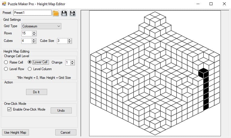
The Height Map Editor is an interactive tool to create your own 3D landscape. You can raise and lower individual squares (blocks) and level entire rows and columns. There is one basic rule for the height of the cells: cells in front have to be lower than cells in the back. (Otherwise there would be […]
Height Map Editor Tutorial – Quick Overview Read More »